The easternmost town of mainland India. A bamboo grove that became a battlefield. Home of the Meyor — one of the least-known tribes on earth. And a place where the first light of every Indian day falls on mountains that remember 1962.
A frontier town shaped equally by the people who have always lived here, the soldiers who fought here, and a sunrise that arrives before anywhere else in India.
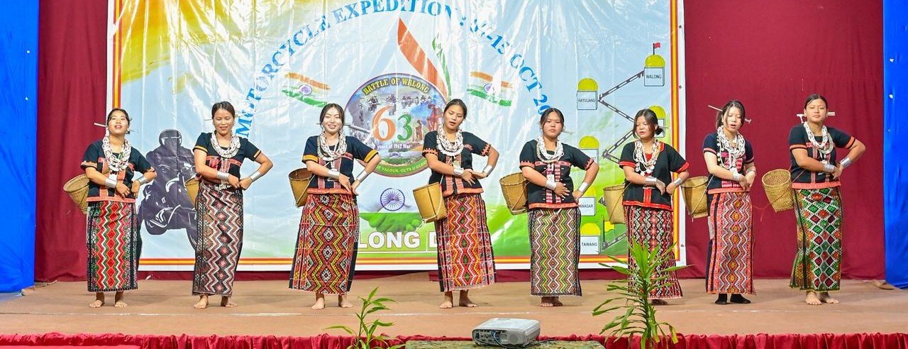
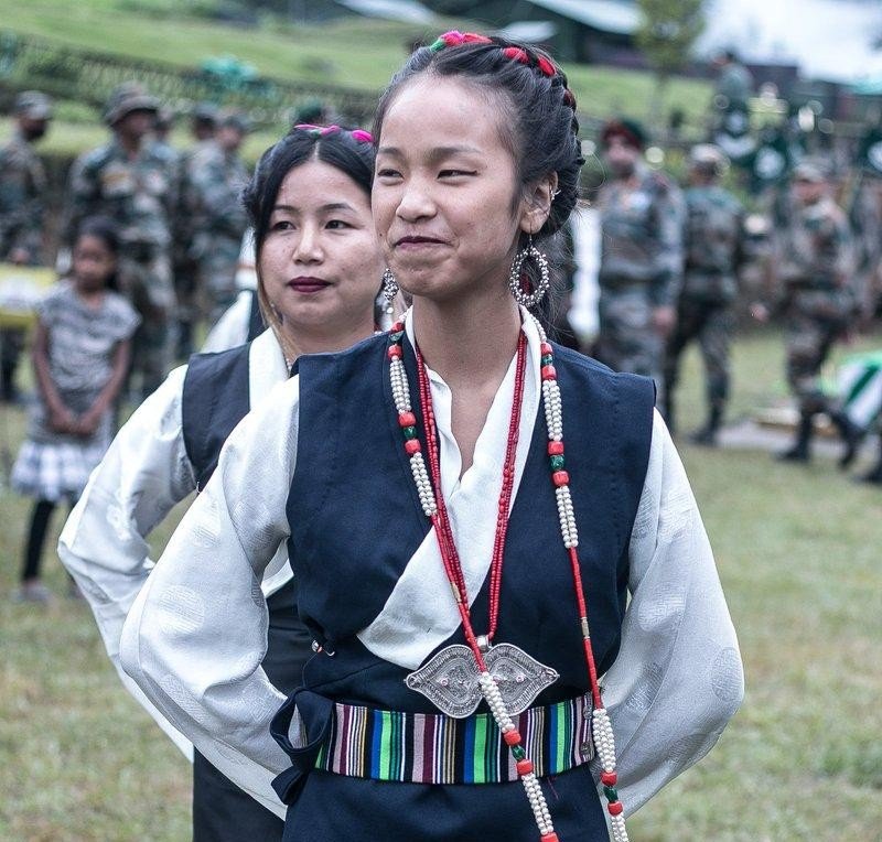
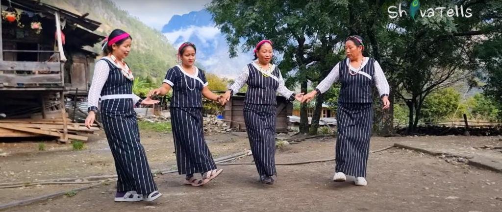
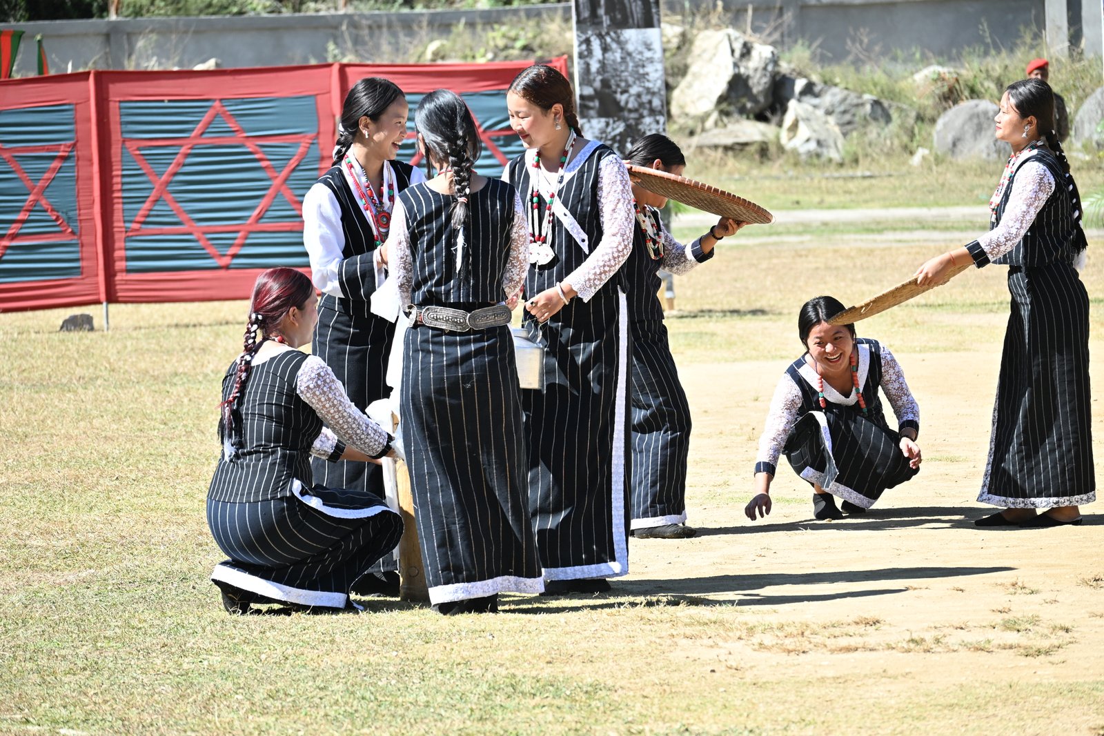
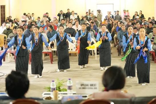
The Meyor — one of the world's least-known tribes, with a population of roughly 1,000. Their beadwork, wet-rice agriculture, Tibetan roots, and a language that is losing speakers every year.
The War Memorial, Namti Valley, Dong sunrise, Kibitho, Helmet Top, hot springs, the Lohit River, and 12 hours of mountain road that strip away all assumptions.
War pilgrims, motorcycle riders, sunrise chasers, and a few travellers who came for the scenery and stayed because the Meyor family next door offered tea.
Military presence, agriculture, land displacement, war tourism potential, and the question of who benefits when a frontier town becomes visible.
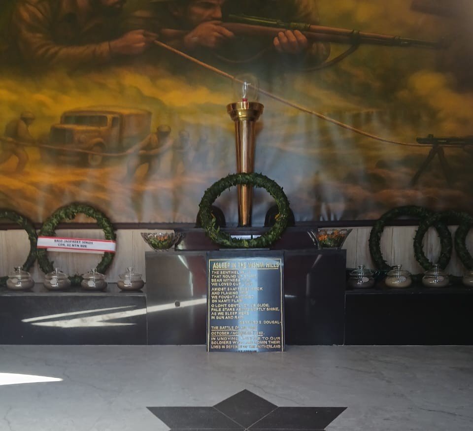
The sentinel hills that round us stand / bear witness that we loved our land. / Amidst shattered rocks and flaming pine / we fought and died on Namti Plain. — inscription at the original Walong War Memorial
The Meyor are the indigenous people of the Walong and Kibitho circles of Anjaw district. Perceived to have migrated from Tibet, they number roughly 1,000 people today — up from 238 in the 1981 census, but still facing the real threat of cultural disappearance as younger generations lose fluency in their dialect and traditional skills erode under modernisation pressure.
Ethnographic research describes the Meyor as historically engaged in wet-rice cultivation with techniques advanced for the terrain, and as famous for business, travelling, and beadwork. Their social life is governed by a traditional council of elders. Alongside the Meyor, the Miju Mishmi and Digaru Mishmi sub-tribes form the broader population of the Walong region — each with distinct customs, dress, and oral traditions.
The region's cultural landscape is complicated by its military history. Approximately 767 acres of Meyor ancestral land has been occupied by Army and BRO activities since 1962. Oral histories collected by researchers in 2019 and 2025 document how place-names were changed, agricultural fields became government quarters, and the Meyor community found its geography rewritten by institutions that did not consult them.
The Meyor are known for intricate beadwork, wet-rice cultivation in mountain terrain, and a history of trade routes connecting the Lohit valley to Tibet. Their language — Tawrã — belongs to the Sino-Tibetan family. Younger speakers are decreasing. What is lost when a language of fewer than 1,000 speakers loses even one fluent elder is not replaceable.
The Miju Mishmi and Digaru Mishmi, alongside the Idu Mishmi further west, share the broader Mishmi Hills landscape. In the Walong-Kibitho area, Miju and Digaru communities maintain distinct cultural practices, dress codes, oral traditions, and relationships with the forest, river, and mountain terrain that outsiders rarely encounter in detail.
The region is dotted with gonpas — Buddhist monasteries often perched on hillsides, offering views of the valley and serving as places of quiet reflection. These add a spiritual dimension to a landscape otherwise dominated by military history and tribal culture, and remind visitors that borders are recent while faith routes are old.
The Battle of Walong is remembered in national military history as heroic. In Meyor oral accounts, it is also the event that brought the Army, roads, and land acquisition into their world permanently. Researchers at Shiv Nadar University have documented how the war reshaped land ownership, place-names, and daily life for the Meyor — a story largely absent from official war narratives.
Without written records, Meyor cultural knowledge — kinship, land boundaries, trade memories, spiritual practices — lives in the voices of elders. Oral history researchers working in Walong emphasise that these accounts are not folklore: they are the community's legal, cultural, and emotional record of how their world changed under forces they did not control.
Rice, maize, millet, wheat, barley, and locally grown vegetables form the diet. Traditional sweets and delicacies are offered to visitors as a gesture of welcome. The Arunachal Times describes Walong's hospitality as leaving "an indelible mark on the journey" — but hospitality here, as elsewhere in Arunachal, comes with the expectation that guests will respect what they are shown.
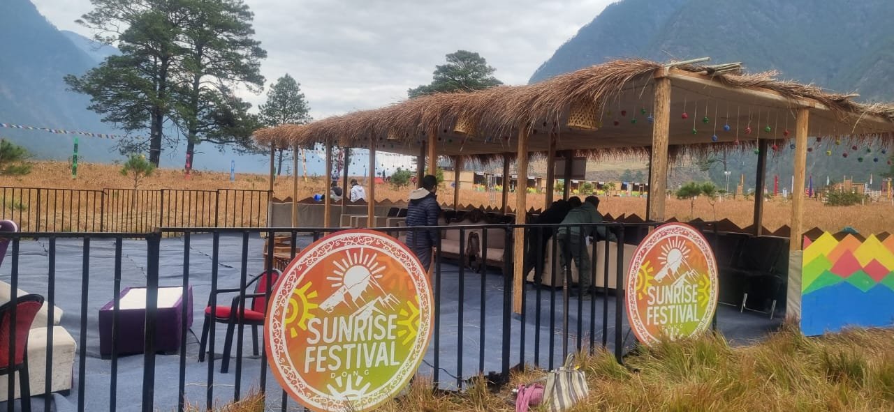
Dong village — a small Meyor settlement 7 km from Walong on the left bank of the Lohit River — receives India's first sunrise. The millennium sunrise was witnessed here on 1 January 2000 by visitors from around the world. Since December 2025, the annual Dong Sunrise Festival combines adventure activities, cultural demonstrations, Meyor ethnic cuisine, and eco-tourism. It is both a celebration and a carefully managed introduction to one of India's most remote indigenous communities.
Walong is approximately 300 km from Dibrugarh and 200 km from Tezu. Either route takes roughly 12 hours by road. There are no luxury hotels. Mobile towers are being installed. The reward is proportional to the difficulty.
This is frontier India: active military zones, permit requirements, road conditions that change with weather, and services that assume self-sufficiency. The most useful preparation is realistic expectations and a willingness to move at the valley's pace.
Mohanbari Airport, Dibrugarh (Assam). From Dibrugarh, travel by road via Tinsukia and Tezu to Walong — approximately 369 km and 12+ hours. Break the journey at Tezu or Hawai.
Tezu to Walong via Hawai: approximately 200 km. The route follows the Lohit River valley through military checkpoints. Shared Sumos and private vehicles operate subject to road and weather conditions.
Walong has an ALG (Advanced Landing Ground) used by the Indian Air Force. It played a critical role in 1962 as the only supply route. Civil aviation access is not currently regular — confirm with state aviation services.
New Tinsukia Junction, Assam. From there, road travel through Tezu and Hawai toward Walong. Plan for at least two days of travel from rail to destination.
Permits are mandatory. Indian nationals need an Inner Line Permit (ILP). Foreign nationals require Protected Area Permits — Walong is close to the LAC and in a sensitive border zone. Military checkpoints are standard. Carry government-issued photo ID at all times. Verify current permit rules through Arunachal Tourism and the Anjaw district site before travel.
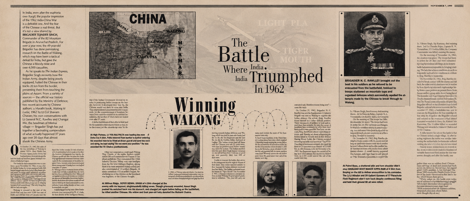
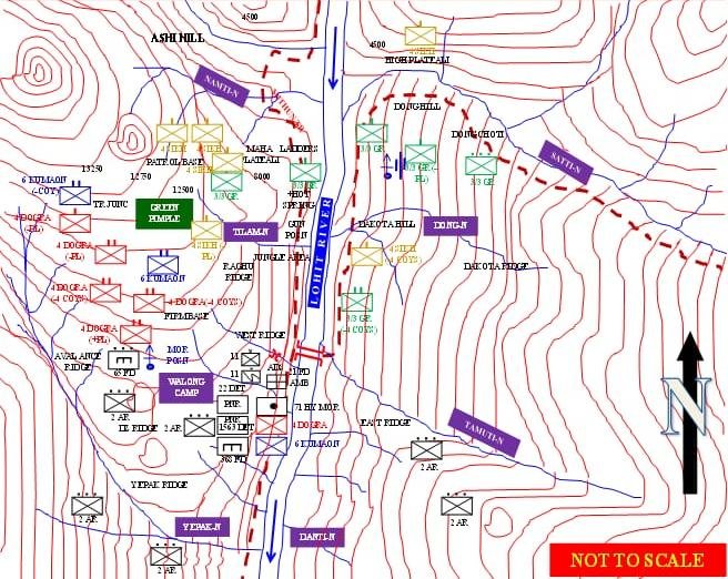
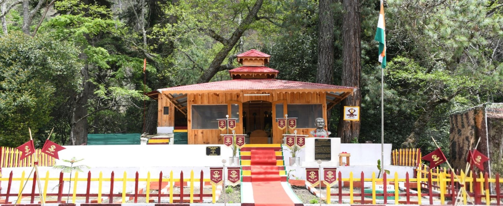
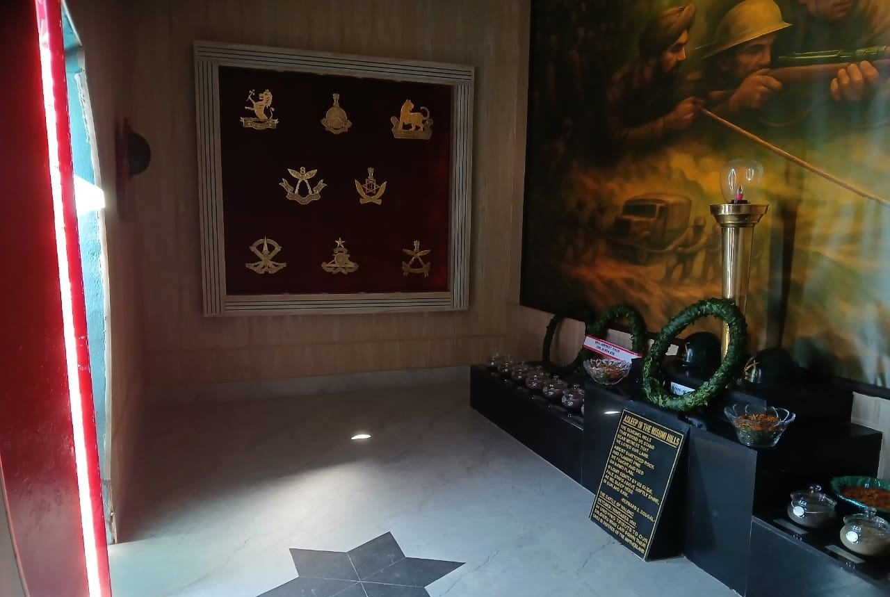
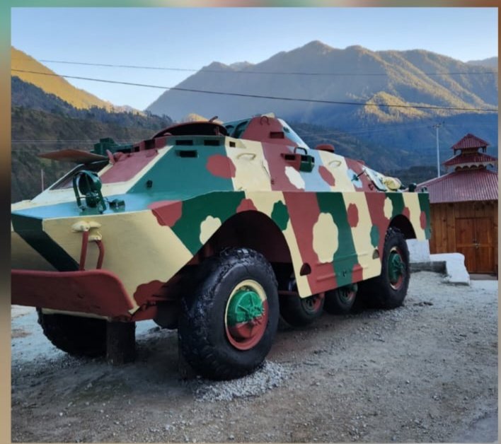
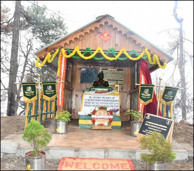
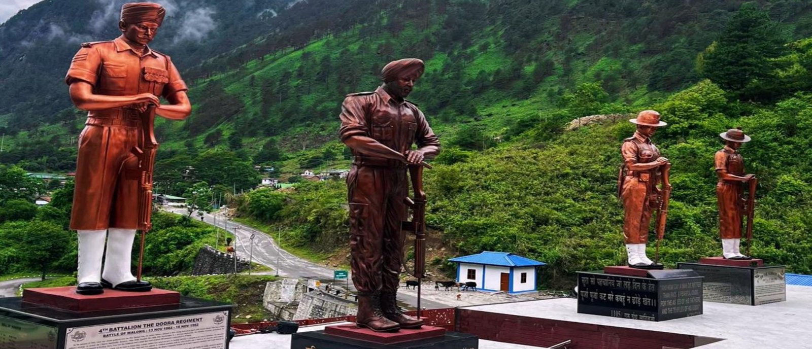
The memorial honours the soldiers of the 6th Kumaon, 4th Sikh, 3/3 Gorkha Rifles, 2/8 Gorkha Rifles, and 4th Dogra who fought the Battle of Walong from 22 October to 16 November 1962. Renovated and re-inaugurated in November 2024 under Governor KT Parnaik. The captured Chinese arms and bullet-marked accoutrements transport the viewer to 1962. Historians have compared the battle to Thermopylae.

7 km from Walong on the road to Kibitho, Namti Maidan is where the fiercest fighting of 1962 occurred. Today it is a sombre green valley of age-old pines and silence — standing witnesses to the supreme sacrifices made during the war. A smaller memorial and the ruins of positions mark the actual battleground.

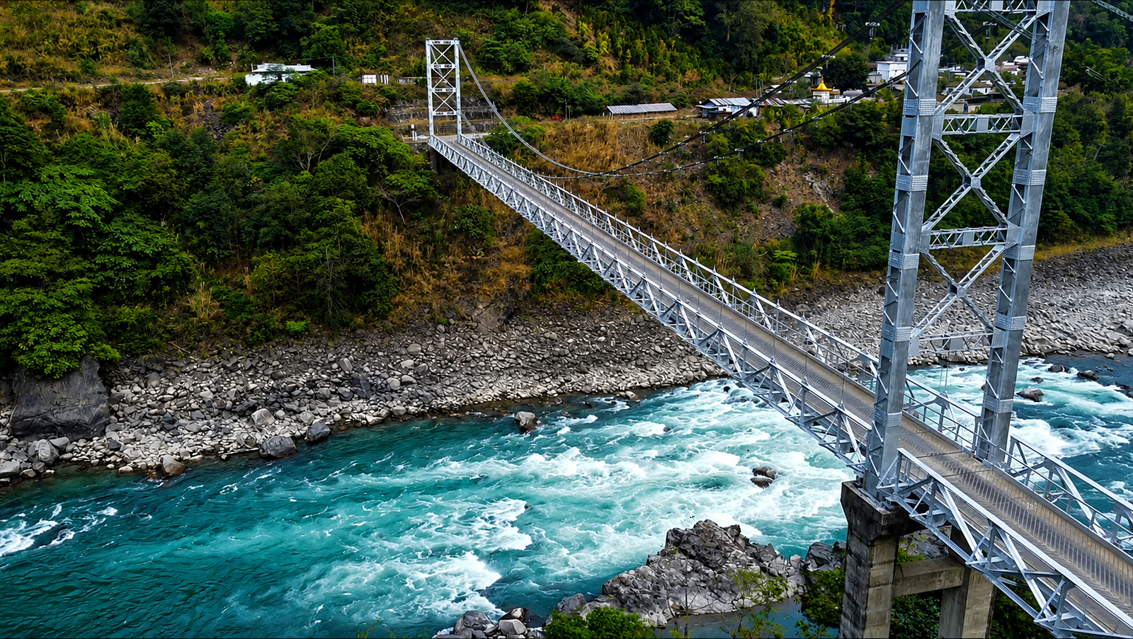
A small Meyor settlement 7 km from Walong on the left bank of the Lohit. Snow-capped mountains and pine forests frame the village. Dong witnessed the millennium sunrise on 1 January 2000. Reached by an iron-floored foot suspension bridge over the Lohit. The annual Dong Sunrise Festival (December–January) is now drawing visitors from across India.

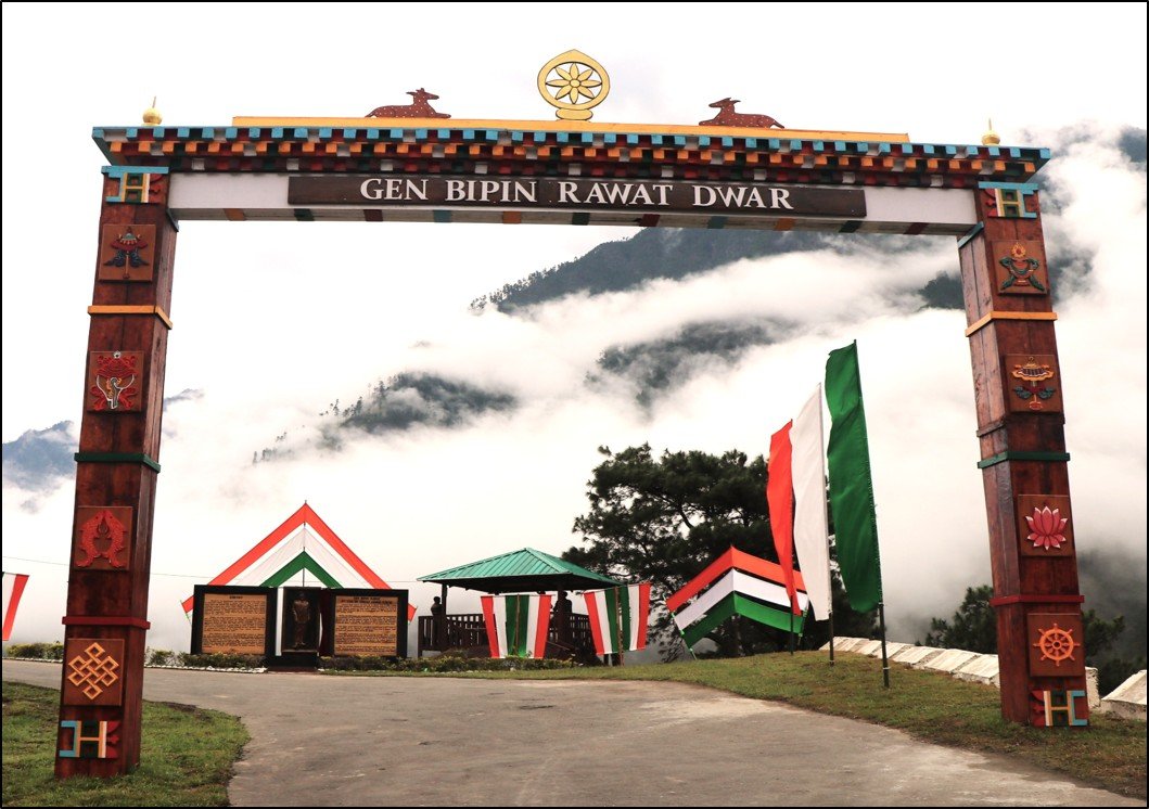
Located at 1,305 m on the right bank of the Lohit, 87 km northeast of Hawai, Kibitho is one of Arunachal Pradesh's most isolated circle headquarters — and the only one with a clear view of the Indo-China border. Features the Bipin Rawat Dwar memorial gate. Meyor are the majority population. Waterfalls, pine forests, wild raspberries, and an atmosphere of genuine frontier solitude.
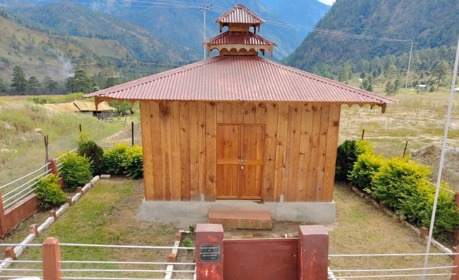
A hill position above the Namti Plains, so named because of the helmets found on its slopes after the 1962 battle. Accessible by road from the War Memorial. Two small temples have been built here. The view encompasses the entire battlefield and the Lohit valley — context that no photograph can replace.

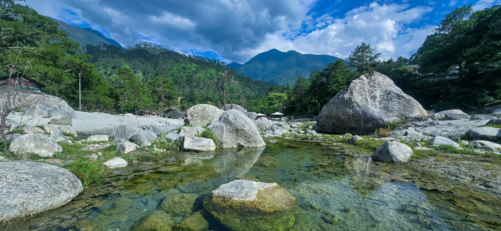
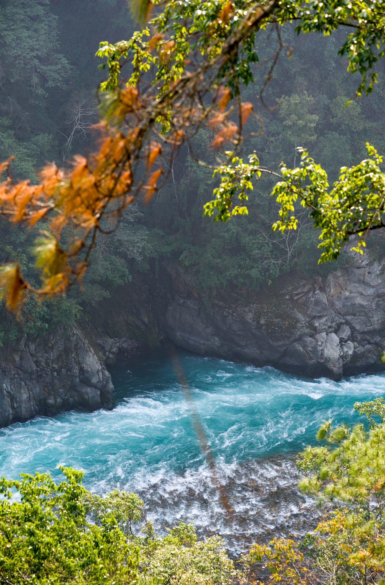
A small hot spring beside the Lohit River in a low-lying area. In winter, warm sand dunes surround it; in summer, slender streamlets carry the warm water to the river. One of two hot springs in Anjaw district. A quiet, unmanaged natural feature — no facilities, no crowds, just heat rising from the earth beside cold mountain water.
Walong has a few homestays and a government inspection bungalow. There are no hotels. Book ahead, carry cash (no reliable ATMs), pack all essentials, and expect basic but warm hospitality.
One of the most-cited stays in Walong. Spacious rooms with attached bathrooms. Local food, warm hosts, and proximity to the War Memorial. A good base for Dong sunrise trips and Namti Valley visits.
Located closer to the Namti Valley approach. Basic but clean rooms. The hosts can arrange local guidance for Helmet Top and the battlefield sites. Food is home-cooked from locally grown produce.
A simple stay option near Dong village for those wanting to catch the earliest sunrise without a pre-dawn drive. Limited capacity — book well in advance during the festival season (late December – early January).
Available on request through the district administration. Functional rather than comfortable. Useful when homestays are full, particularly during the Dong Sunrise Festival or military commemoration events.
"Welcome to the East of India's East. With the magnificent Lohit River flowing on one side and the imposing mountain peaks on the other, the serenity radiated by these surroundings shrouds the valorous war cries that resonated from these very peaks in the October of 1962." — Tripadvisor review, Walong War Memorial
The most consistent theme in war-memorial accounts is the physical encounter with the 1962 artefacts: the captured Chinese weapons, the bullet-pocked uniforms, and the memorial inscription whose verse about "shattered rocks and flaming pine" transforms the surrounding landscape from scenery into testimony. Several visitors describe standing at the memorial, looking up at Helmet Top, and realising that the ridge they can see is the actual position where the fighting happened. The distance between memorial and battlefield is small enough to walk. That proximity changes the nature of the visit.
The Dong sunrise experience begins the night before: the 3 a.m. alarm, the crossing of the suspension bridge over the Lohit in darkness, the climb to the viewpoint, and then the wait — cold, quiet, with pine trees silhouetted against a sky that changes colour with a slowness that feels earned. When the light arrives, it arrives on a Meyor village first, then spreads west across the entire subcontinent. Travellers who expected a scenic photo opportunity describe instead a feeling of geographic weight: being at the actual edge of a country, watching daylight begin.
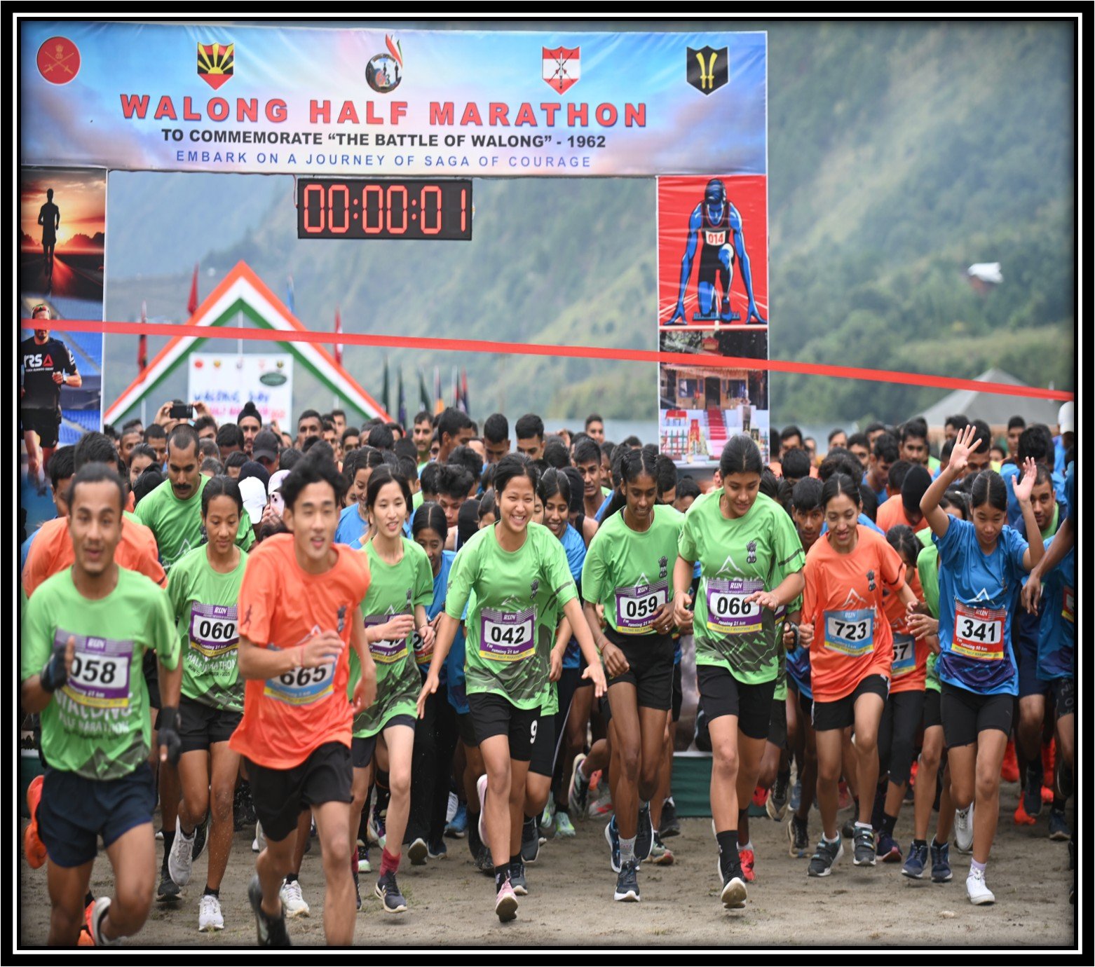
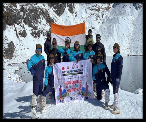
In October 2025, a 21-rider motorcycle expedition — 11 Army, 10 civilian — rode from Tawang to Walong to commemorate the 63rd Walong Day, collecting soil from 1962 battlefields along the route to be enshrined at the War Memorial. The nine-day journey traversed the entire length of Arunachal Pradesh's border landscape. Riders described the ride as less a motorsport event and more a moving ceremony: each handful of soil carried from one battlefield to another closing a loop between sacrifice and remembrance that no monument alone can achieve.
Whether you came for the sunrise, the memorial, or the road itself — your account helps others prepare for a place that does not explain itself in advance.
Walong's economy is inseparable from its military identity. The Indian Army cantonment, BRO road construction, and government administration are the largest employers and land users. Approximately 767 acres of Meyor ancestral land has been occupied by these activities — a fact documented in ethnographic research but largely invisible in tourism narratives.
Traditional livelihoods — wet-rice cultivation, maize, millet, barley, vegetable farming, and forest produce — continue but face pressure from land displacement, changing demographics, and the monetisation of a subsistence economy by the arrival of roads and markets.
War tourism is now the stated development strategy. Chief Minister Pema Khandu has emphasised Walong's potential for domestic war pilgrimage tourism. The Dong Sunrise Festival, inaugurated in December 2025, is a deliberate effort to build a tourism economy. Whether this benefits the Meyor community or merely passes through their land is the defining question.
Wet rice is the primary crop, alongside maize, millet, wheat, barley, and kitchen vegetables. The terrain limits mechanisation. Jhum (shifting) cultivation is practised in some areas at lower elevations. Agricultural output is local and vulnerable to road disruption, weather, and military land use.
The Army cantonment, BRO road projects, and government services are the largest economic actors. They provide employment, infrastructure, and market demand, but also displace land, change demographics, and create an economy dependent on external institutional spending rather than local production.
The renovated War Memorial (2024), the Dong Sunrise Festival (2025), the Tawang–Walong motorcycle expedition, and state government endorsement of war tourism signal a deliberate push. Homestays at Walong, Dong, and Kibitho are the first private tourism infrastructure. The question is whether visitor spending reaches Meyor households or concentrates in outside operator hands.
Meyor beadwork, traditional food preparation, and Mishmi textile traditions are cultural assets that could generate livelihood income — but only if sold at fair value, produced on community terms, and not reduced to mass-market souvenirs. The Dong festival format, if community-controlled, offers a model.
The Meyor community's land displacement is documented in research but not widely known. As Walong gains tourism visibility, the risk is that the community becomes a backdrop to military history rather than an active participant in decisions about their own landscape and economy.
Younger Meyor are losing fluency in Tawrã and traditional skills. Modernisation, military schooling, Hindi dominance, and outward migration accelerate this. Tourism can either accelerate erosion (by incentivising performance over practice) or slow it (by creating economic value for cultural knowledge).
Roads, ALG upgrades, and military expansion bring connectivity and employment but also change land use, demographics, and ecological balance. Development that is done to the valley rather than with the valley repeats the pattern that Meyor oral histories describe from 1962 onward.
Walong's homestay and waste infrastructure is minimal. A surge in visitors during the Dong Sunrise Festival or Walong Day commemorations without waste management, booking systems, and community consent protocols would damage exactly what draws people here.
The Walong War Memorial was renovated and re-inaugurated on 14 November 2024 under the leadership of Governor Lt Gen KT Parnaik (Retd.), alongside the inauguration of Shaurya Sthal at Lama Spur. The renovation ensures the memorial remains a fitting tribute and a draw for war-history visitors.
The first annual Dong Sunrise Festival ran from 29 December 2025 to 2 January 2026, combining adventure activities, cultural tourism, Meyor ethnic cuisine, and eco-tourism. It is designed to create a recurring economic event for the Walong–Dong corridor.
A 21-rider Tawang-to-Walong motorcycle expedition, flagged off by Governor KT Parnaik, collected battlefield soil for enshrinement at the War Memorial. The event signals growing national interest in Walong as a war-tourism destination.
Chief Minister Pema Khandu has publicly identified Walong as having "huge potential for war tourism" and positioned it as a destination for domestic visitors to pay tribute to 1962 soldiers. The state government's framing links patriotism, border awareness, and economic development — a combination that can bring investment but must also protect indigenous rights.
The Meyor inhabited the Walong and Kibitho circles with trade routes linking the Lohit valley to Tibet. The name Walong means "a place of bamboo groves" in the Mishmi dialect — a description of the landscape before military infrastructure changed its character.
The Indian 11th Infantry Brigade — 6th Kumaon, 4th Sikh, 3/3 Gorkha Rifles, 2/8 Gorkha Rifles, 4th Dogra, and Assam Rifles — fought Chinese forces from 22 October to 16 November 1962. Some 2,500 Indian troops faced an estimated 15,000 Chinese. The battle was the only Indian counterattack of the entire war. Approximately 830 Indian soldiers were killed, captured, or wounded. Chinese casualties were estimated at five times that number.
The Army cantonment, BRO road construction, and administrative expansion permanently changed Walong. Meyor oral histories document agricultural fields becoming government quarters, place-names being changed, and land ownership shifting without community consultation.
Dong village hosted visitors from across the world for the first sunrise of the new millennium, establishing its identity as the place where India's day begins. The event put Walong on a map that had previously shown only military coordinates.
Anjaw was carved out of Lohit District, with Hawai as headquarters. Walong became a circle headquarters within the new district — India's easternmost and second-least-populous.
The memorial was renovated and re-inaugurated, alongside the Shaurya Sthal at Lama Spur. A renewed commitment to preserving the 1962 legacy and attracting war-history visitors.
The first annual festival marks a deliberate transition from military outpost to cultural-tourism destination. Adventure activities, Meyor cultural demonstrations, and eco-tourism — the beginning of a tourism economy for India's easternmost frontier.
This page is built from official district tourism pages, military history records, ethnographic research, and news coverage. Dated claims are linked for verification.